Great East Japan Earthquake
The 2011 Tohoku Pacific Coast Earthquake occurred at 14:46 on March 11, 2011, with its epicenter off the east-southeast coast of the Oshika Peninsula in Miyagi Prefecture.The earthquake had a magnitude of 9.0 (according to the Japan Meteorological Agency), making it the largest earthquake ever recorded in Japan. It was an earthquake. This was the fourth largest earthquake in the world since the 20th century, after the 2004 Sumatra earthquake in Indonesia.
In addition to a seismic intensity of 7 recorded in Kurihara City, Miyagi Prefecture, the earthquake was characterized by strong shaking that affected a very wide area, with seismic intensity of lower 5 or higher being observed in a wide area from Aomori Prefecture to Shizuoka Prefecture.
This earthquake caused a huge tsunami to hit the coast from Hokkaido to Chiba Prefecture.
The tsunami overcame sea walls and embankments in various places, submerging plain areas such as the Sendai Plain several kilometers inland from the coast, leaving more than 22,000 people dead or missing (including those related to the earthquake).
The huge tsunami also hit Okuma Town, Futaba County, Fukushima Prefecture, where the Fukushima Daiichi Nuclear Power Plant is located, causing the plant to lose all power, including emergency power supplies, and resulting in a major accident in which the nuclear fuel in the reactor melted, resulting in radioactive contamination of the surrounding area.
The height of the tsunami that hit the plant was estimated to have been 14 to 15 meters, far exceeding the 6.1 meter maximum water level anticipated for the plant's construction.
The 2011 Tohoku Pacific Ocean Earthquake and the subsequent disasters are collectively referred to as the Great East Japan Earthquake.


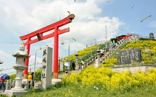
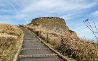
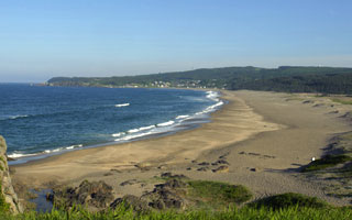
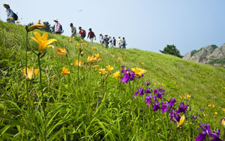
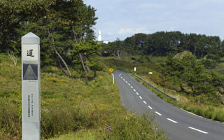
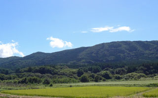
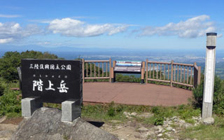
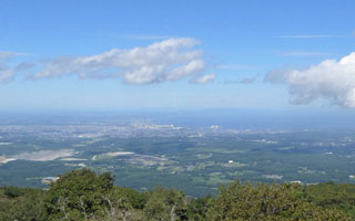
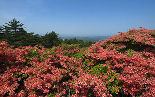
This coast is home to a diverse range of topography, including rocky, gravel, and sea-eroded coastlines, and has been designated a national place of scenic beauty.
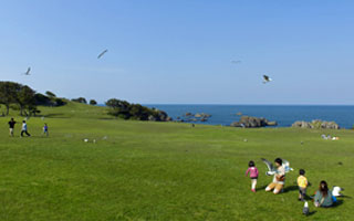
There is also a 6-kilometer promenade from Ashigezaki Observation Deck to Tanesashi Natural Lawn, where you can take a stroll while enjoying the view of the Pacific Ocean.
Along the promenade, there are rare places where not only seaside plants such as Convolvulus lily and Japanese lily, but also alpine plants such as daylily and Japanese iris bloom side by side, creating a magical atmosphere.
Osuka Beach, near JR Hachinohe Line's Mutsu-Shirahama Station, is known for its "singing sand," which makes a noise when you walk on it. There is also Shirahama Beach, which attracts many visitors during the swimming season.
The area around Tanesashi Kaigan Station on the JR Hachinohe Line is covered with natural grass and has an open landscape.
The beautiful scenery has been loved by many writers, including Yoshida Hatsusaburo, Kusano Shinpei, and Shiba Ryotaro, and often appears in their works.
Painter Higashiyama Kaii's work "The Road" was based on a sketch he made at a ranch on Tanesashi Coast, and a monument now stands at the same spot.
→ The Road - Higashiyama Kaii Memorial Foundation